
SMP ISLAM TERPADU MUHAMMAD THAHA TUAL
| Nama | : | SMP ISLAM TERPADU MUHAMMAD THAHA TUAL | |
| NPSN | : | 69984279 | |
| Alamat | : | Jl. Panglima Mandala | |
| Desa/Kelurahan | : | FIDITAN | |
| Kecamatan/Kota (LN) | : | KEC. PULAU DULLAH UTARA | |
| Kab.-Kota/Negara (LN) | : | KOTA TUAL | |
| Propinsi/Luar Negeri (LN) | : | PROV. MALUKU | |
| Status Sekolah | : | SWASTA | |
| Bentuk Pendidikan | : | SMP | |
| Jenjang Pendidikan | : | DIKDAS |
| Kementerian Pembina | : | Kementerian Pendidikan, Kebudayaan, Riset dan Teknologi | |
| Naungan | : | Yayasan MUMAMMAD THAHA | |
| NPYP | : | AO3998 | |
| No. SK. Pendirian | : | 120/KEP/K.YMT/TUAL/VII/2018 | |
| Tanggal SK. Pendirian | : | 10-07-2018 | |
| Nomor SK Operasional | : | 445.b Tahun 2018 | |
| Tanggal SK Operasional | : | 02-10-2018 | |
| File SK Operasional () | : | Lihat SK Operasional | |
| Tanggal Upload SK Op. | : | 31-08-2020 13:12:54 | |
| Akreditasi | : | C |
| Luas Tanah | : | 10.000 m2 | |
| Akses Internet | : | 1. | |
| : | 2. | ||
| Sumber Listrik | : | - |
| Fax | : | - | |
| Telepon | : | ||
| : | smpitmtt28@gmail.com | ||
| Website | : | http://gg.cc | |
| Operator | : | Maskur Amin |
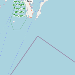
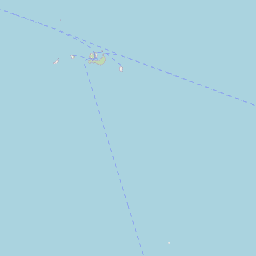
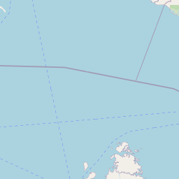
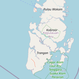


Leaflet | © OpenStreetMap
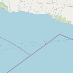
Lintang: -5.608935800000
Bujur: 132.759443500000
Bujur: 132.759443500000