
SMK RAUDHATUL MUJAWWIDIN
| Nama | : | SMK RAUDHATUL MUJAWWIDIN | |
| NPSN | : | 69978862 | |
| Alamat | : | Jln. Tulang Bawang (22) | |
| Desa/Kelurahan | : | RIMBO MULYO | |
| Kecamatan/Kota (LN) | : | KEC. RIMBO BUJANG | |
| Kab.-Kota/Negara (LN) | : | KAB. TEBO | |
| Propinsi/Luar Negeri (LN) | : | PROV. JAMBI | |
| Status Sekolah | : | SWASTA | |
| Bentuk Pendidikan | : | SMK | |
| Jenjang Pendidikan | : | DIKMEN |
| Kementerian Pembina | : | Kementerian Pendidikan, Kebudayaan, Riset dan Teknologi | |
| Naungan | : | Yayasan Raudhatul Mujawwidin | |
| NPYP | : | AF1508 | |
| No. SK. Pendirian | : | F.016.USB.SMK.RM.028.07/2007 | |
| Tanggal SK. Pendirian | : | 28-07-2017 | |
| Nomor SK Operasional | : | 125/DPM-PTSP/Izin Operasional-SMK/VII/2018 | |
| Tanggal SK Operasional | : | 09-07-2018 | |
| File SK Operasional () | : | Lihat SK Operasional | |
| Tanggal Upload SK Op. | : | 31-07-2018 16:50:14 | |
| Akreditasi | : | B |
| Luas Tanah | : | 25.990 m2 | |
| Akses Internet | : | 1. - | |
| : | 2. 40 Mb | ||
| Sumber Listrik | : | PLN |
| Fax | : | 0 | |
| Telepon | : | ||
| : | smkyaromu@gmail.com | ||
| Website | : | ||
| Operator | : | Putut Hiwantoro |
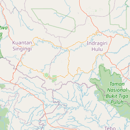
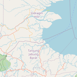
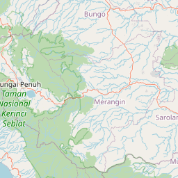
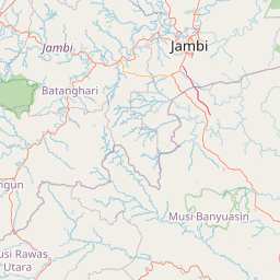
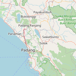


Leaflet | © OpenStreetMap
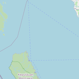
Lintang: -1.373629000000
Bujur: 102.047553000000
Bujur: 102.047553000000