
SD LENTERA HARAPAN MAMIT
| Nama | : | SD LENTERA HARAPAN MAMIT | |
| NPSN | : | 69966242 | |
| Alamat | : | Desa Mamit | |
| Desa/Kelurahan | : | MAMIT | |
| Kecamatan/Kota (LN) | : | KEC. KEMBU | |
| Kab.-Kota/Negara (LN) | : | KAB. TOLIKARA | |
| Propinsi/Luar Negeri (LN) | : | PROV. PAPUA PEGUNUNGAN | |
| Status Sekolah | : | SWASTA | |
| Bentuk Pendidikan | : | SD | |
| Jenjang Pendidikan | : | DIKDAS |
| Kementerian Pembina | : | Kementerian Pendidikan, Kebudayaan, Riset dan Teknologi | |
| Naungan | : | Yayasan Pendidikan Harapan Papua | |
| NPYP | : | AG0391 | |
| No. SK. Pendirian | : | 420/44/TAHUN 2015 | |
| Tanggal SK. Pendirian | : | 04-03-2015 | |
| Nomor SK Operasional | : | 421.2-305 | |
| Tanggal SK Operasional | : | 06-05-2015 | |
| File SK Operasional () | : | Lihat SK Operasional | |
| Tanggal Upload SK Op. | : | 06-12-2017 22:58:07 | |
| Akreditasi | : | - |
| Luas Tanah | : | 10.000 m2 | |
| Akses Internet | : | 1. - | |
| : | 2. 300 Mb | ||
| Sumber Listrik | : | Lainnya |
| Fax | : | - | |
| Telepon | : | ||
| : | sdlenteramamit@gamil.com | ||
| Website | : | http://lentera.sch.id | |
| Operator | : | Almas Agata Suryono |
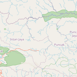
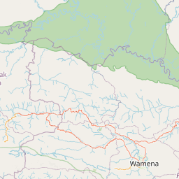
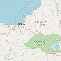
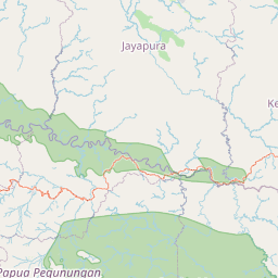
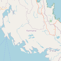

Leaflet | © OpenStreetMap
Lintang: -3.589594200000
Bujur: 138.396551300000
Bujur: 138.396551300000