
SMAN 2 KASIMBAR
| Nama | : | SMAN 2 KASIMBAR | |
| NPSN | : | 69947006 | |
| Alamat | : | JL. Trans Sulawesi | |
| Desa/Kelurahan | : | SILAMPAYANG | |
| Kecamatan/Kota (LN) | : | KEC. KASIMBAR | |
| Kab.-Kota/Negara (LN) | : | KAB. PARIGI MOUTONG | |
| Propinsi/Luar Negeri (LN) | : | PROV. SULAWESI TENGAH | |
| Status Sekolah | : | NEGERI | |
| Bentuk Pendidikan | : | SMA | |
| Jenjang Pendidikan | : | DIKMEN |
| Kementerian Pembina | : | Kementerian Pendidikan, Kebudayaan, Riset dan Teknologi | |
| Naungan | : | Pemerintah Daerah | |
| NPYP | : | - | |
| No. SK. Pendirian | : | 503/5516/DISDIK | |
| Tanggal SK. Pendirian | : | 14-04-2016 | |
| Nomor SK Operasional | : | 503/5516/DISDIK | |
| Tanggal SK Operasional | : | 14-04-2016 | |
| File SK Operasional () | : | Lihat SK Operasional | |
| Tanggal Upload SK Op. | : | 04-08-2016 11:27:58 | |
| Akreditasi | : | B |
| Luas Tanah | : | 15.697 m2 | |
| Akses Internet | : | 1. - | |
| : | 2. 500 Mb | ||
| Sumber Listrik | : | PLN |
| Fax | : | - | |
| Telepon | : | ||
| : | sman2kasimbar@gmail.com | ||
| Website | : | ||
| Operator | : | NURMAYA |

Leaflet | © OpenStreetMap
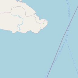
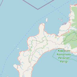
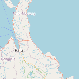
Lintang: -.103156300000
Bujur: 119.967713500000
Bujur: 119.967713500000