
SMK Negeri 3 Tual
| Nama | : | SMK Negeri 3 Tual | |
| NPSN | : | 69824469 | |
| Alamat | : | Jl. Adam Said-Ohoiel Tayando | |
| Desa/Kelurahan | : | TAYANDO OHOIEL | |
| Kecamatan/Kota (LN) | : | KEC. TAYANDO TAM | |
| Kab.-Kota/Negara (LN) | : | KOTA TUAL | |
| Propinsi/Luar Negeri (LN) | : | PROV. MALUKU | |
| Status Sekolah | : | NEGERI | |
| Bentuk Pendidikan | : | SMK | |
| Jenjang Pendidikan | : | DIKMEN |
| Kementerian Pembina | : | Kementerian Pendidikan, Kebudayaan, Riset dan Teknologi | |
| Naungan | : | Pemerintah Daerah | |
| NPYP | : | - | |
| No. SK. Pendirian | : | 188 TAHUN 2013 | |
| Tanggal SK. Pendirian | : | 05-08-2013 | |
| Nomor SK Operasional | : | 188 TAHUN 2013 | |
| Tanggal SK Operasional | : | 05-08-2013 | |
| File SK Operasional () | : | Lihat SK Operasional | |
| Tanggal Upload SK Op. | : | 01-10-2019 13:42:56 | |
| Akreditasi | : | C |
| Luas Tanah | : | 8.000 m2 | |
| Akses Internet | : | 1. - | |
| : | 2. - | ||
| Sumber Listrik | : | Diesel |
| Fax | : | - | |
| Telepon | : | ||
| : | smknegeri3tual@gmail.com | ||
| Website | : | ||
| Operator | : | Rizal Abd Renhoran |
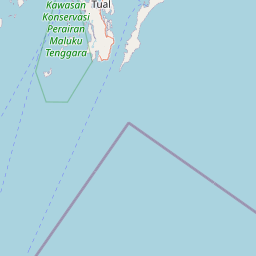
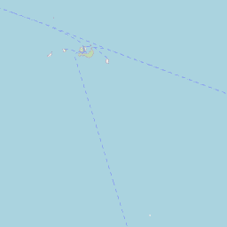
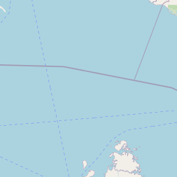
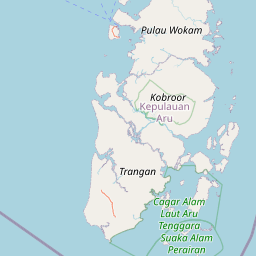

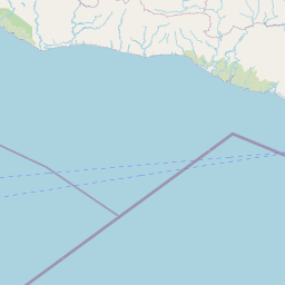


Leaflet | © OpenStreetMap
Lintang: -5.605900000000
Bujur: 132.316900000000
Bujur: 132.316900000000