
SMKS DARUNNAJAH
| Nama | : | SMKS DARUNNAJAH | |
| NPSN | : | 69774927 | |
| Alamat | : | Jl. Sungai Jawa | |
| Desa/Kelurahan | : | KOREK | |
| Kecamatan/Kota (LN) | : | KEC. SUNGAI AMBAWANG | |
| Kab.-Kota/Negara (LN) | : | KAB. KUBURAYA | |
| Propinsi/Luar Negeri (LN) | : | PROV. KALIMANTAN BARAT | |
| Status Sekolah | : | SWASTA | |
| Bentuk Pendidikan | : | SMK | |
| Jenjang Pendidikan | : | DIKMEN |
| Kementerian Pembina | : | Kementerian Pendidikan, Kebudayaan, Riset dan Teknologi | |
| Naungan | : | Yayasan LPI Al-Khairat | |
| NPYP | : | AJ1150 | |
| No. SK. Pendirian | : | 003/LP-IIB/IX/2012 | |
| Tanggal SK. Pendirian | : | 30-04-2012 | |
| Nomor SK Operasional | : | NO. 934/TAHUN 2012 | |
| Tanggal SK Operasional | : | 30-04-2012 | |
| File SK Operasional () | : | Lihat SK Operasional | |
| Tanggal Upload SK Op. | : | 28-06-2021 01:36:53 | |
| Akreditasi | : | C |
| Luas Tanah | : | 9.375 m2 | |
| Akses Internet | : | 1. | |
| : | 2. | ||
| Sumber Listrik | : | - |
| Fax | : | - | |
| Telepon | : | ||
| : | smk_darunnajah@yahoo.com | ||
| Website | : | http://smkdarunnajah.com | |
| Operator | : | Maskur |
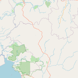


Leaflet | © OpenStreetMap
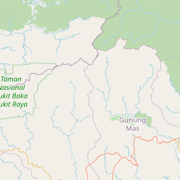
Lintang: -.067000000000
Bujur: 109.537900000000
Bujur: 109.537900000000