
SMAN 14 PANGKAJENE DAN KEPULAUAN
| Nama | : | SMAN 14 PANGKAJENE DAN KEPULAUAN | |
| NPSN | : | 69753686 | |
| Alamat | : | Pulau Pamantauang | |
| Desa/Kelurahan | : | PAMMANTAUAN MASALIMA | |
| Kecamatan/Kota (LN) | : | KEC. LIUKANG KALMAS | |
| Kab.-Kota/Negara (LN) | : | KAB. PANGKAJENE KEPULAUAN | |
| Propinsi/Luar Negeri (LN) | : | PROV. SULAWESI SELATAN | |
| Status Sekolah | : | NEGERI | |
| Bentuk Pendidikan | : | SMA | |
| Jenjang Pendidikan | : | DIKMEN |
| Kementerian Pembina | : | Kementerian Pendidikan, Kebudayaan, Riset dan Teknologi | |
| Naungan | : | Pemerintah Daerah | |
| NPYP | : | - | |
| No. SK. Pendirian | : | 343/VII/TAHUN 2012 | |
| Tanggal SK. Pendirian | : | 02-07-2012 | |
| Nomor SK Operasional | : | 342 TAHUN 2012 | |
| Tanggal SK Operasional | : | 02-07-2012 | |
| File SK Operasional () | : | Lihat SK Operasional | |
| Tanggal Upload SK Op. | : | 18-12-2017 08:31:09 | |
| Akreditasi | : | B |
| Luas Tanah | : | 5.000 m2 | |
| Akses Internet | : | 1. - | |
| : | 2. - | ||
| Sumber Listrik | : | Tenaga Surya |
| Fax | : | - | |
| Telepon | : | 22420 | |
| : | hariantoainil@gmail.com | ||
| Website | : | http://sman14.pangkep.sch.id | |
| Operator | : | HARIANTO |
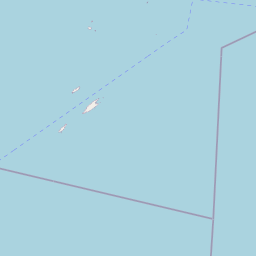
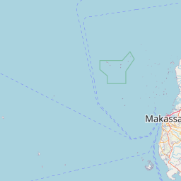


Leaflet | © OpenStreetMap
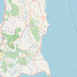
Lintang: -5.019404000000
Bujur: 117.072312000000
Bujur: 117.072312000000