
MTSS AL HARAMAIN
| Nama | : | MTSS AL HARAMAIN | |
| NPSN | : | 69734122 | |
| Alamat | : | JL.PESANTREN DESA KESUMA | |
| Desa/Kelurahan | : | SIALANG INDAH | |
| Kecamatan/Kota (LN) | : | KEC. PANGKALAN KURAS | |
| Kab.-Kota/Negara (LN) | : | KAB. PELALAWAN | |
| Propinsi/Luar Negeri (LN) | : | PROV. RIAU | |
| Status Sekolah | : | SWASTA | |
| Bentuk Pendidikan | : | MTs | |
| Jenjang Pendidikan | : | DIKDAS |
| Kementerian Pembina | : | Kementerian Agama | |
| Naungan | : | ||
| NPYP | : | - | |
| No. SK. Pendirian | : | ||
| Tanggal SK. Pendirian | : | - | |
| Nomor SK Operasional | : | - | |
| Tanggal SK Operasional | : | - | |
| File SK Operasional () | : | Silakan Upload SK | |
| Tanggal Upload SK Op. | : | - | |
| Akreditasi | : | B |
| Luas Tanah | : | 0 m2 | |
| Akses Internet | : | 1. | |
| : | 2. | ||
| Sumber Listrik | : | - |
| Fax | : | - | |
| Telepon | : | ||
| : | |||
| Website | : | ||
| Operator | : | Reonoldi Tepatan Putra |
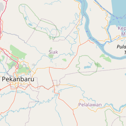
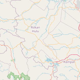
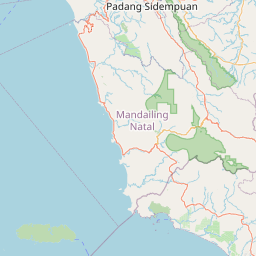


Leaflet | © OpenStreetMap
Lintang: -.079044000000
Bujur: 102.053658000000
Bujur: 102.053658000000