
MIS BAITULLAH
| Nama | : | MIS BAITULLAH | |
| NPSN | : | 60729550 | |
| Alamat | : | JL. PENDIDIKAN NO. 1 PARANGA | |
| Desa/Kelurahan | : | LENTU | |
| Kecamatan/Kota (LN) | : | KEC. BONTORAMBA | |
| Kab.-Kota/Negara (LN) | : | KAB. JENEPONTO | |
| Propinsi/Luar Negeri (LN) | : | PROV. SULAWESI SELATAN | |
| Status Sekolah | : | SWASTA | |
| Bentuk Pendidikan | : | MI | |
| Jenjang Pendidikan | : | DIKDAS |
| Kementerian Pembina | : | Kementerian Agama | |
| Naungan | : | ||
| NPYP | : | - | |
| No. SK. Pendirian | : | 188 c. TAHUN 2009 | |
| Tanggal SK. Pendirian | : | 24-09-2009 | |
| Nomor SK Operasional | : | 281 Thn 2015 | |
| Tanggal SK Operasional | : | 25-03-2015 | |
| File SK Operasional () | : | Lihat SK Operasional | |
| Tanggal Upload SK Op. | : | 28-08-2019 19:30:07 | |
| Akreditasi | : | C |
| Luas Tanah | : | 23 m2 | |
| Akses Internet | : | 1. | |
| : | 2. | ||
| Sumber Listrik | : | - |
| Fax | : | - | |
| Telepon | : | ||
| : | |||
| Website | : | ||
| Operator | : | NURJAMIL RN |

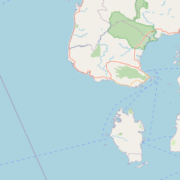


Leaflet | © OpenStreetMap
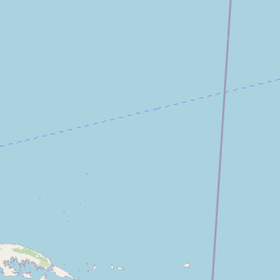
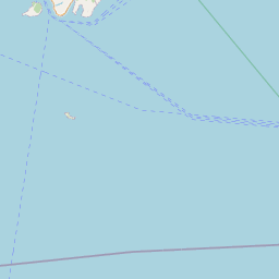
Lintang: -5.606700000000
Bujur: 119.680600000000
Bujur: 119.680600000000