
MAN 2 SOPPENG
| Nama | : | MAN 2 SOPPENG | |
| NPSN | : | 60728640 | |
| Alamat | : | JL. LATAPARENG NO. 214 TANETE KEL. MANORANG SALO KEC. MARIORIAWA | |
| Desa/Kelurahan | : | MANORANG SALO | |
| Kecamatan/Kota (LN) | : | KEC. MARIO RIAWA | |
| Kab.-Kota/Negara (LN) | : | KAB. SOPPENG | |
| Propinsi/Luar Negeri (LN) | : | PROV. SULAWESI SELATAN | |
| Status Sekolah | : | NEGERI | |
| Bentuk Pendidikan | : | MA | |
| Jenjang Pendidikan | : | DIKMEN |
| Kementerian Pembina | : | Kementerian Agama | |
| Naungan | : | Pemerintah Daerah | |
| NPYP | : | - | |
| No. SK. Pendirian | : | 368 Tahun 2016 | |
| Tanggal SK. Pendirian | : | 18-11-2015 | |
| Nomor SK Operasional | : | 368 TAhun 2015 | |
| Tanggal SK Operasional | : | 18-11-2015 | |
| File SK Operasional () | : | Silakan Upload SK (link file tidak valid) => [752347-840132--] | |
| Tanggal Upload SK Op. | : | 09-01-2023 08:15:45 | |
| Akreditasi | : | A |
| Luas Tanah | : | 6.160 m2 | |
| Akses Internet | : | 1. | |
| : | 2. | ||
| Sumber Listrik | : | - |
| Fax | : | - | |
| Telepon | : | ||
| : | |||
| Website | : | ||
| Operator | : | Askin |
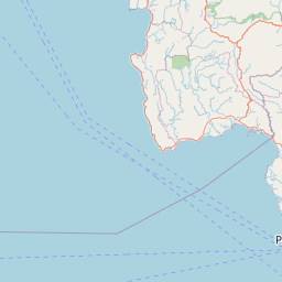
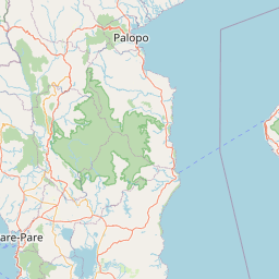


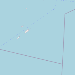
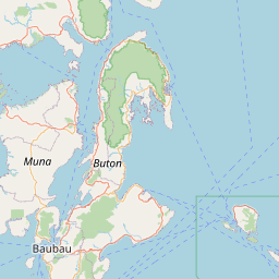

Leaflet | © OpenStreetMap
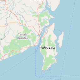
Lintang: -4.175357000000
Bujur: 119.879377000000
Bujur: 119.879377000000