
MIS MENANGA
| Nama | : | MIS MENANGA | |
| NPSN | : | 60722178 | |
| Alamat | : | Jl. Cendana Menanga | |
| Desa/Kelurahan | : | MENANGA | |
| Kecamatan/Kota (LN) | : | KEC. SOLOR TIMUR | |
| Kab.-Kota/Negara (LN) | : | KAB. FLORES TIMUR | |
| Propinsi/Luar Negeri (LN) | : | PROV. NUSA TENGGARA TIMUR | |
| Status Sekolah | : | SWASTA | |
| Bentuk Pendidikan | : | MI | |
| Jenjang Pendidikan | : | DIKDAS |
| Kementerian Pembina | : | Kementerian Agama | |
| Naungan | : | ||
| NPYP | : | - | |
| No. SK. Pendirian | : | KW.20.2/3/PP.00.11/5979/2012 | |
| Tanggal SK. Pendirian | : | 12-12-2012 | |
| Nomor SK Operasional | : | KW.20.2/3/PP.00.11/5979/2012 | |
| Tanggal SK Operasional | : | 12-12-2012 | |
| File SK Operasional () | : | Lihat SK Operasional | |
| Tanggal Upload SK Op. | : | 07-06-2016 07:17:14 | |
| Akreditasi | : | C |
| Luas Tanah | : | 7.462 m2 | |
| Akses Internet | : | 1. | |
| : | 2. | ||
| Sumber Listrik | : | - |
| Fax | : | - | |
| Telepon | : | ||
| : | |||
| Website | : | ||
| Operator | : | Ilminafia Nuly |
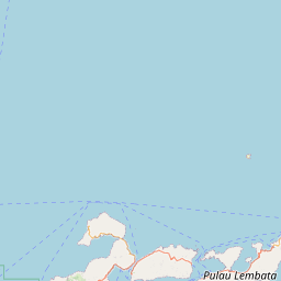
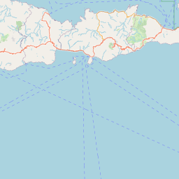
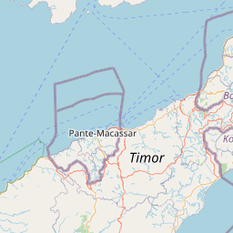
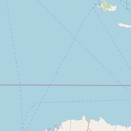
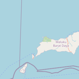
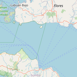

Leaflet | © OpenStreetMap
Lintang: -8.446417000000
Bujur: 123.058853000000
Bujur: 123.058853000000