
MIS ASSUNNIYYAH 45
| Nama | : | MIS ASSUNNIYYAH 45 | |
| NPSN | : | 60715596 | |
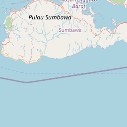
| Alamat | : | JL. PANTAI PASEBAN | |
| Desa/Kelurahan | : | PASEBAN | |
| Kecamatan/Kota (LN) | : | KEC. KENCONG | |
| Kab.-Kota/Negara (LN) | : | KAB. JEMBER | |
| Propinsi/Luar Negeri (LN) | : | PROV. JAWA TIMUR | |
| Status Sekolah | : | SWASTA | |
| Bentuk Pendidikan | : | MI | |
| Jenjang Pendidikan | : | DIKDAS |
| Kementerian Pembina | : | Kementerian Agama | |
| Naungan | : | Yayasan BPPPMNU Cabang Kencong | |
| NPYP | : | AH0482 | |
| No. SK. Pendirian | : | Kd.03.09/4/PP.07/1940/2010- | |
| Tanggal SK. Pendirian | : | 01-07-2010 | |
| Nomor SK Operasional | : | Kd.03.09/4/PP.07/1940/2010- | |
| Tanggal SK Operasional | : | 01-07-2010 | |
| File SK Operasional () | : | Lihat SK Operasional | |
| Tanggal Upload SK Op. | : | 23-12-2015 11:43:00 | |
| Akreditasi | : | B |
| Luas Tanah | : | 0 m2 | |
| Akses Internet | : | 1. | |
| : | 2. | ||
| Sumber Listrik | : | - |
| Fax | : | - | |
| Telepon | : | ||
| : | |||
| Website | : | ||
| Operator | : | Ahmad Muzaqi Qodrisyah |
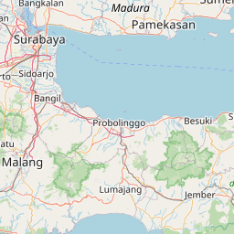


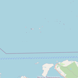


Leaflet | © OpenStreetMap
Lintang: -8.313300000000
Bujur: 113.348300000000
Bujur: 113.348300000000