
SD NEGERI 32 KOTA SORONG
| Nama | : | SD NEGERI 32 KOTA SORONG | |
| NPSN | : | 60400302 | |
| Alamat | : | Jalan Sungai Kamundan. RT.001 / RW. VI. Sorong Timur, Sorong Kota. 98417 | |
| Desa/Kelurahan | : | KLAWUYUK | |
| Kecamatan/Kota (LN) | : | KEC. SORONG TIMUR | |
| Kab.-Kota/Negara (LN) | : | KOTA SORONG | |
| Propinsi/Luar Negeri (LN) | : | PROV. PAPUA BARAT DAYA | |
| Status Sekolah | : | NEGERI | |
| Bentuk Pendidikan | : | SD | |
| Jenjang Pendidikan | : | DIKDAS |
| Kementerian Pembina | : | Kementerian Pendidikan, Kebudayaan, Riset dan Teknologi | |
| Naungan | : | Pemerintah Daerah | |
| NPYP | : | - | |
| No. SK. Pendirian | : | 3010/DP/KABSOR | |
| Tanggal SK. Pendirian | : | 01-01-1982 | |
| Nomor SK Operasional | : | 849/700 | |
| Tanggal SK Operasional | : | 10-06-2015 | |
| File SK Operasional () | : | Silakan Upload SK (link file tidak valid) => [544481-246598--] | |
| Tanggal Upload SK Op. | : | 21-11-2021 19:25:51 | |
| Akreditasi | : | A |
| Luas Tanah | : | 10.000 m2 | |
| Akses Internet | : | 1. - | |
| : | 2. 30 Mb | ||
| Sumber Listrik | : | PLN |
| Fax | : | - | |
| Telepon | : | 0951324540 | |
| : | sdinpres68@yahoo.co.id | ||
| Website | : | ||
| Operator | : | NOVITA ANGELINA TALLUTA |
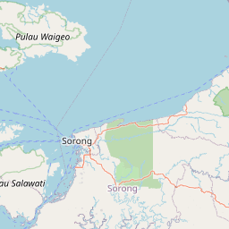
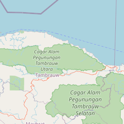
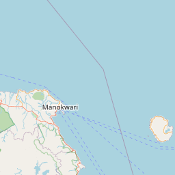

Leaflet | © OpenStreetMap
Lintang: -.897300000000
Bujur: 131.329900000000
Bujur: 131.329900000000