
SMA Negeri 7 Kepulauan Tanimbar
| Nama | : | SMA Negeri 7 Kepulauan Tanimbar | |
| NPSN | : | 60103400 | |
| Alamat | : | JL. WEARMASA - KELIOBAR | |
| Desa/Kelurahan | : | KELIOBER | |
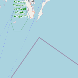
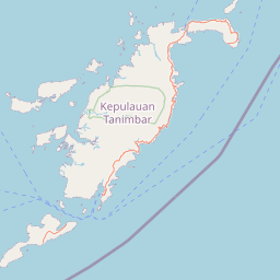
| Kecamatan/Kota (LN) | : | KEC. TANIMBAR UTARA | |
| Kab.-Kota/Negara (LN) | : | KAB. KEPULAUAN TANIMBAR | |
| Propinsi/Luar Negeri (LN) | : | PROV. MALUKU | |
| Status Sekolah | : | NEGERI | |
| Bentuk Pendidikan | : | SMA | |
| Jenjang Pendidikan | : | DIKMEN |
| Kementerian Pembina | : | Kementerian Pendidikan, Kebudayaan, Riset dan Teknologi | |
| Naungan | : | Pemerintah Daerah | |
| NPYP | : | - | |
| No. SK. Pendirian | : | 371/I 17/PP/2001 | |
| Tanggal SK. Pendirian | : | 20-06-2001 | |
| Nomor SK Operasional | : | 371/I 17/PP/2001 | |
| Tanggal SK Operasional | : | 20-06-2001 | |
| File SK Operasional () | : | Lihat SK Operasional | |
| Tanggal Upload SK Op. | : | 03-11-2019 21:16:23 | |
| Akreditasi | : | B |
| Luas Tanah | : | 5.698 m2 | |
| Akses Internet | : | 1. - | |
| : | 2. 2 Mb | ||
| Sumber Listrik | : | PLN |
| Fax | : | - | |
| Telepon | : | ||
| : | sman2tanut@gmail.com | ||
| Website | : | http://sman7kepulauantanimbar.sch.id | |
| Operator | : | MONA MONI NATALIA FUN |


Leaflet | © OpenStreetMap
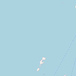
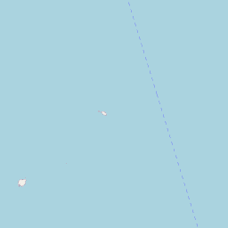
Lintang: -7.115000000000
Bujur: 131.858800000000
Bujur: 131.858800000000