
SD NEGERI GODA-GODA
| Nama | : | SD NEGERI GODA-GODA | |
| NPSN | : | 60101891 | |
| Alamat | : | Goda-goda | |
| Desa/Kelurahan | : | GODA GODA | |
| Kecamatan/Kota (LN) | : | KEC. SIR-SIR | |
| Kab.-Kota/Negara (LN) | : | KAB. KEPULAUAN ARU | |
| Propinsi/Luar Negeri (LN) | : | PROV. MALUKU | |
| Status Sekolah | : | NEGERI | |
| Bentuk Pendidikan | : | SD | |
| Jenjang Pendidikan | : | DIKDAS |
| Kementerian Pembina | : | Kementerian Pendidikan, Kebudayaan, Riset dan Teknologi | |
| Naungan | : | Pemerintah Daerah | |
| NPYP | : | - | |
| No. SK. Pendirian | : | 400.3/580 TAHUN 2023 | |
| Tanggal SK. Pendirian | : | 21-08-2023 | |
| Nomor SK Operasional | : | 400.3/1035 TAHUN 2023 | |
| Tanggal SK Operasional | : | 15-12-2023 | |
| File SK Operasional () | : | Lihat SK Operasional | |
| Tanggal Upload SK Op. | : | 30-01-2024 15:44:33 | |
| Akreditasi | : | C |
| Luas Tanah | : | 7.200 m2 | |
| Akses Internet | : | 1. - | |
| : | 2. - | ||
| Sumber Listrik | : | Tidak Ada |
| Fax | : | - | |
| Telepon | : | ||
| : | sdnegerigodagoda@yahoo.com | ||
| Website | : | http://sdnegerigoda2.com | |
| Operator | : | SOFYAN FATUKALOBA |
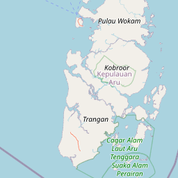


Leaflet | © OpenStreetMap
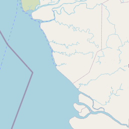
Lintang: -5.564098100000
Bujur: 134.446345600000
Bujur: 134.446345600000