
SD NASKAT KELANIT
| Nama | : | SD NASKAT KELANIT | |
| NPSN | : | 60100909 | |
| Alamat | : | Kelanit | |
| Desa/Kelurahan | : | KELANIT | |
| Kecamatan/Kota (LN) | : | KEC. KEI KECIL | |
| Kab.-Kota/Negara (LN) | : | KAB. MALUKU TENGGARA | |
| Propinsi/Luar Negeri (LN) | : | PROV. MALUKU | |
| Status Sekolah | : | SWASTA | |
| Bentuk Pendidikan | : | SD | |
| Jenjang Pendidikan | : | DIKDAS |
| Kementerian Pembina | : | Kementerian Pendidikan, Kebudayaan, Riset dan Teknologi | |
| Naungan | : | YAYASAN PENDIDIKAN KATOLIK KEUSKUPAN AMBOINA (YPKKA) | |
| NPYP | : | AM4775 | |
| No. SK. Pendirian | : | 23 | |
| Tanggal SK. Pendirian | : | 01-01-1910 | |
| Nomor SK Operasional | : | 503/042/SDDPMPTSP/VI/2023 | |
| Tanggal SK Operasional | : | 01-01-1910 | |
| File SK Operasional () | : | Lihat SK Operasional | |
| Tanggal Upload SK Op. | : | 28-06-2023 12:14:24 | |
| Akreditasi | : | B |
| Luas Tanah | : | 464.000 m2 | |
| Akses Internet | : | 1. - | |
| : | 2. 30 Mb | ||
| Sumber Listrik | : | PLN |
| Fax | : | - | |
| Telepon | : | ||
| : | |||
| Website | : | ||
| Operator | : | ANJELO LEFTEUW |
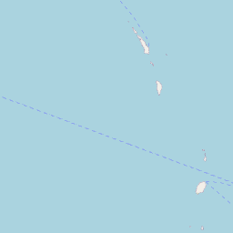
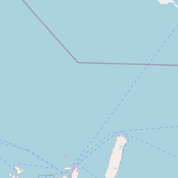
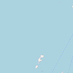
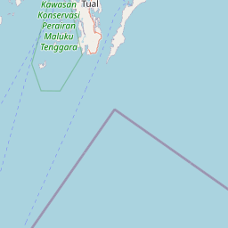
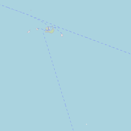
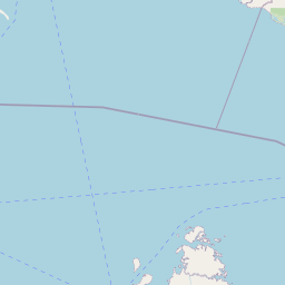

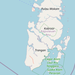

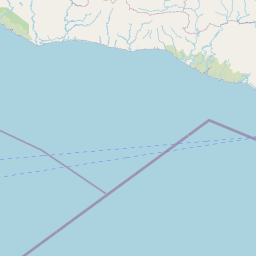


Leaflet | © OpenStreetMap
Lintang: -5.652600000000
Bujur: 132.690100000000
Bujur: 132.690100000000