
SD NEGERI JONG
| Nama | : | SD NEGERI JONG | |
| NPSN | : | 50308486 | |
| Alamat | : | Jong | |
| Desa/Kelurahan | : | WAE KAJONG | |
| Kecamatan/Kota (LN) | : | KEC. REOK BARAT | |
| Kab.-Kota/Negara (LN) | : | KAB. MANGGARAI | |
| Propinsi/Luar Negeri (LN) | : | PROV. NUSA TENGGARA TIMUR | |
| Status Sekolah | : | NEGERI | |
| Bentuk Pendidikan | : | SD | |
| Jenjang Pendidikan | : | DIKDAS |
| Kementerian Pembina | : | Kementerian Pendidikan, Kebudayaan, Riset dan Teknologi | |
| Naungan | : | Pemerintah Pusat | |
| NPYP | : | - | |
| No. SK. Pendirian | : | HK/26/2009 | |
| Tanggal SK. Pendirian | : | 12-01-2009 | |
| Nomor SK Operasional | : | - | |
| Tanggal SK Operasional | : | 01-01-1910 | |
| File SK Operasional () | : | Silakan Upload SK | |
| Tanggal Upload SK Op. | : | - | |
| Akreditasi | : | B |
| Luas Tanah | : | 7.500 m2 | |
| Akses Internet | : | 1. - | |
| : | 2. - | ||
| Sumber Listrik | : | PLN |
| Fax | : | - | |
| Telepon | : | ||
| : | ardinojemaan15@gmail.com | ||
| Website | : | ||
| Operator | : | WILFRIDUS ARDINO JEMAAN |
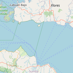
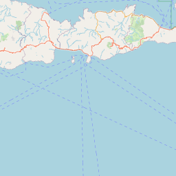
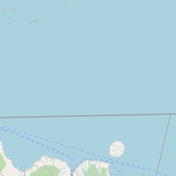
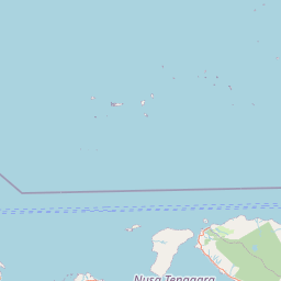
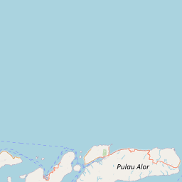
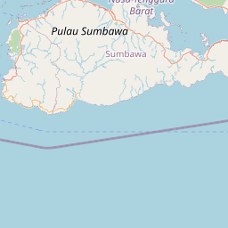
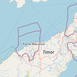

Leaflet | © OpenStreetMap
Lintang: -8.349300000000
Bujur: 120.355200000000
Bujur: 120.355200000000