
SMP KETRAMPILAN LEWA
| Nama | : | SMP KETRAMPILAN LEWA | |
| NPSN | : | 50303769 | |
| Alamat | : | Pameti Karata | |
| Desa/Kelurahan | : | LEWAPAKU | |
| Kecamatan/Kota (LN) | : | KEC. LEWA | |
| Kab.-Kota/Negara (LN) | : | KAB. SUMBA TIMUR | |
| Propinsi/Luar Negeri (LN) | : | PROV. NUSA TENGGARA TIMUR | |
| Status Sekolah | : | SWASTA | |
| Bentuk Pendidikan | : | SMP | |
| Jenjang Pendidikan | : | DIKDAS |
| Kementerian Pembina | : | Kementerian Pendidikan, Kebudayaan, Riset dan Teknologi | |
| Naungan | : | ||
| NPYP | : | - | |
| No. SK. Pendirian | : | 001/Kep/YPK/77 | |
| Tanggal SK. Pendirian | : | 01-01-1977 | |
| Nomor SK Operasional | : | 23761/3/A.7/77 | |
| Tanggal SK Operasional | : | 30-08-1977 | |
| File SK Operasional () | : | Lihat SK Operasional | |
| Tanggal Upload SK Op. | : | 23-04-2023 22:40:40 | |
| Akreditasi | : | C |
| Luas Tanah | : | 19.035 m2 | |
| Akses Internet | : | 1. - | |
| : | 2. 1 Mb | ||
| Sumber Listrik | : | PLN |
| Fax | : | - | |
| Telepon | : | ||
| : | smpketrampilanlewa77@gmail.com | ||
| Website | : | http://50303769.siap-sekolah.id | |
| Operator | : | Delsivita Rambu Hamu Meha |

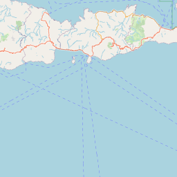


Leaflet | © OpenStreetMap
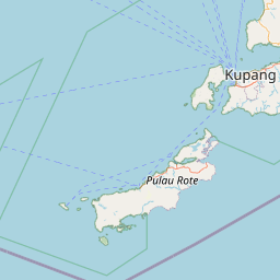
Lintang: -9.708600000000
Bujur: 119.876700000000
Bujur: 119.876700000000