
SD GMIT RETTA
| Nama | : | SD GMIT RETTA | |
| NPSN | : | 50301747 | |
| Alamat | : | Retta | |
| Desa/Kelurahan | : | PURA SELATAN | |
| Kecamatan/Kota (LN) | : | KEC. PULAU PURA | |
| Kab.-Kota/Negara (LN) | : | KAB. ALOR | |
| Propinsi/Luar Negeri (LN) | : | PROV. NUSA TENGGARA TIMUR | |
| Status Sekolah | : | SWASTA | |
| Bentuk Pendidikan | : | SD | |
| Jenjang Pendidikan | : | DIKDAS |
| Kementerian Pembina | : | Kementerian Pendidikan, Kebudayaan, Riset dan Teknologi | |
| Naungan | : | Yayasan YAPENKRIS | |
| NPYP | : | AF9709 | |
| No. SK. Pendirian | : | No. 2 Tahun 1966 | |
| Tanggal SK. Pendirian | : | 01-08-1947 | |
| Nomor SK Operasional | : | 29 Tahun 1981 | |
| Tanggal SK Operasional | : | 24-03-1981 | |
| File SK Operasional () | : | Lihat SK Operasional | |
| Tanggal Upload SK Op. | : | 03-03-2023 08:20:09 | |
| Akreditasi | : | B |
| Luas Tanah | : | 20.906 m2 | |
| Akses Internet | : | 1. - | |
| : | 2. - | ||
| Sumber Listrik | : | PLN |
| Fax | : | - | |
| Telepon | : | ||
| : | sdgmitretta@yahoo.com | ||
| Website | : | ||
| Operator | : | EBENHEISER OSINGMAHI |

Leaflet | © OpenStreetMap
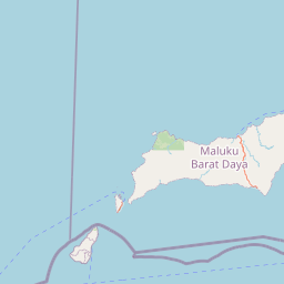
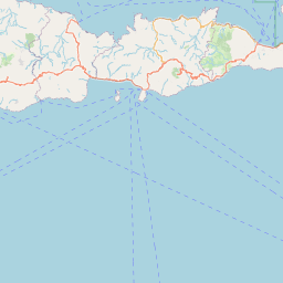
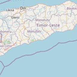
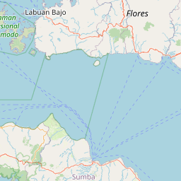
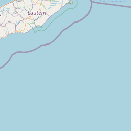
Lintang: -8.322100000000
Bujur: 124.361500000000
Bujur: 124.361500000000