
SD NEGERI 2 TANJUNG
| Nama | : | SD NEGERI 2 TANJUNG | |
| NPSN | : | 50200141 | |
| Alamat | : | Gubuk Baru | |
| Desa/Kelurahan | : | TANJUNG | |
| Kecamatan/Kota (LN) | : | KEC. TANJUNG | |
| Kab.-Kota/Negara (LN) | : | KAB. LOMBOK UTARA | |
| Propinsi/Luar Negeri (LN) | : | PROV. NUSA TENGGARA BARAT | |
| Status Sekolah | : | NEGERI | |
| Bentuk Pendidikan | : | SD | |
| Jenjang Pendidikan | : | DIKDAS |
| Kementerian Pembina | : | Kementerian Pendidikan, Kebudayaan, Riset dan Teknologi | |
| Naungan | : | Pemerintah Daerah | |
| NPYP | : | - | |
| No. SK. Pendirian | : | 421/904/02/Dokpora/2022 | |
| Tanggal SK. Pendirian | : | 17-03-2022 | |
| Nomor SK Operasional | : | 421/904/02/Dikpora/2022 | |
| Tanggal SK Operasional | : | 17-03-2022 | |
| File SK Operasional () | : | Lihat SK Operasional | |
| Tanggal Upload SK Op. | : | 08-04-2022 09:43:46 | |
| Akreditasi | : | B |
| Luas Tanah | : | 3.145 m2 | |
| Akses Internet | : | 1. | |
| : | 2. | ||
| Sumber Listrik | : | - |
| Fax | : | - | |
| Telepon | : | ||
| : | |||
| Website | : | ||
| Operator | : | ENDANG HEROYANI |
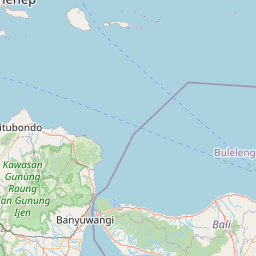
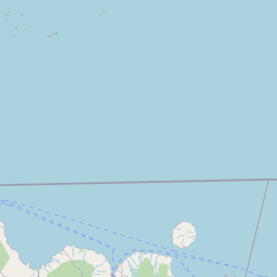
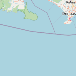
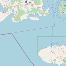

Leaflet | © OpenStreetMap
Lintang: -8.351100000000
Bujur: 116.158500000000
Bujur: 116.158500000000