
SMP NEGERI 38 BUTON
| Nama | : | SMP NEGERI 38 BUTON | |
| NPSN | : | 40405677 | |
| Alamat | : | Jalan Poros Pasarwajo-Wabula | |
| Desa/Kelurahan | : | HOLIMOMBO JAYA | |
| Kecamatan/Kota (LN) | : | KEC. PASAR WAJO | |
| Kab.-Kota/Negara (LN) | : | KAB. BUTON | |
| Propinsi/Luar Negeri (LN) | : | PROV. SULAWESI TENGGARA | |
| Status Sekolah | : | NEGERI | |
| Bentuk Pendidikan | : | SMP | |
| Jenjang Pendidikan | : | DIKDAS |
| Kementerian Pembina | : | Kementerian Pendidikan, Kebudayaan, Riset dan Teknologi | |
| Naungan | : | Pemerintah Daerah | |
| NPYP | : | - | |
| No. SK. Pendirian | : | 068 tahun 2011 | |
| Tanggal SK. Pendirian | : | 10-08-2011 | |
| Nomor SK Operasional | : | - | |
| Tanggal SK Operasional | : | 10-08-2012 | |
| File SK Operasional () | : | Lihat SK Operasional | |
| Tanggal Upload SK Op. | : | 31-12-2019 11:41:44 | |
| Akreditasi | : | B |
| Luas Tanah | : | 6.088 m2 | |
| Akses Internet | : | 1. - | |
| : | 2. - | ||
| Sumber Listrik | : | PLN |
| Fax | : | 0 | |
| Telepon | : | ||
| : | smpn38buton@gmail.com | ||
| Website | : | ||
| Operator | : | RAHMAN |
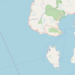
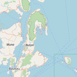
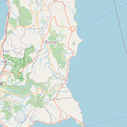


Leaflet | © OpenStreetMap
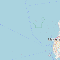
Lintang: -5.538800000000
Bujur: 122.896600000000
Bujur: 122.896600000000