
SMKN 4 KEPULAUAN SELAYAR
| Nama | : | SMKN 4 KEPULAUAN SELAYAR | |
| NPSN | : | 40315141 | |
| Alamat | : | JLN. PAHLAWAN NO. 5 | |
| Desa/Kelurahan | : | KEMBANG RAGI | |
| Kecamatan/Kota (LN) | : | KEC. PASIMASUNGGU | |
| Kab.-Kota/Negara (LN) | : | KAB. KEPULAUAN SELAYAR | |
| Propinsi/Luar Negeri (LN) | : | PROV. SULAWESI SELATAN | |
| Status Sekolah | : | NEGERI | |
| Bentuk Pendidikan | : | SMK | |
| Jenjang Pendidikan | : | DIKMEN |
| Kementerian Pembina | : | Kementerian Pendidikan, Kebudayaan, Riset dan Teknologi | |
| Naungan | : | Pemerintah Pusat | |
| NPYP | : | - | |
| No. SK. Pendirian | : | 384/2009 | |
| Tanggal SK. Pendirian | : | 01-01-1900 | |
| Nomor SK Operasional | : | 525252 | |
| Tanggal SK Operasional | : | - | |
| File SK Operasional () | : | Silakan Upload SK | |
| Tanggal Upload SK Op. | : | - | |
| Akreditasi | : | C |
| Luas Tanah | : | 10.000 m2 | |
| Akses Internet | : | 1. - | |
| : | 2. - | ||
| Sumber Listrik | : | PLN |
| Fax | : | - | |
| Telepon | : | ||
| : | smkn4selayar@yahoo.com | ||
| Website | : | http://www.smkn1-psmsg.com | |
| Operator | : | HASMAN |
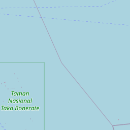
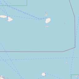

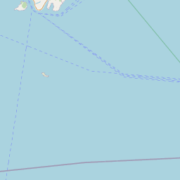
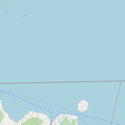
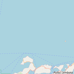

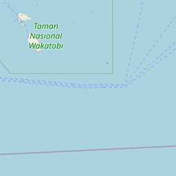
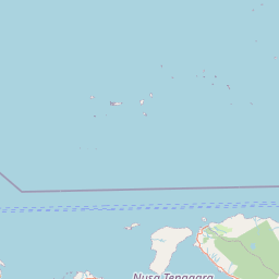

Leaflet | © OpenStreetMap
Lintang: -7.056900000000
Bujur: 120.620800000000
Bujur: 120.620800000000