
SD INPRES KAYUKU RAHMAT
| Nama | : | SD INPRES KAYUKU RAHMAT | |
| NPSN | : | 40201922 | |
| Alamat | : | Jl.Siswa No.01 | |
| Desa/Kelurahan | : | SALUAN | |
| Kecamatan/Kota (LN) | : | KEC. MOILONG | |
| Kab.-Kota/Negara (LN) | : | KAB. BANGGAI | |
| Propinsi/Luar Negeri (LN) | : | PROV. SULAWESI TENGAH | |
| Status Sekolah | : | NEGERI | |
| Bentuk Pendidikan | : | SD | |
| Jenjang Pendidikan | : | DIKDAS |
| Kementerian Pembina | : | Kementerian Pendidikan, Kebudayaan, Riset dan Teknologi | |
| Naungan | : | Pemerintah Daerah | |
| NPYP | : | - | |
| No. SK. Pendirian | : | 26/PDK./1982.- | |
| Tanggal SK. Pendirian | : | 01-01-1982 | |
| Nomor SK Operasional | : | 26/PDK./1982.- | |
| Tanggal SK Operasional | : | 01-01-1910 | |
| File SK Operasional () | : | Lihat SK Operasional | |
| Tanggal Upload SK Op. | : | 20-03-2023 08:38:37 | |
| Akreditasi | : | B |
| Luas Tanah | : | 5.000 m2 | |
| Akses Internet | : | 1. - | |
| : | 2. 300 Mb | ||
| Sumber Listrik | : | PLN |
| Fax | : | 0 | |
| Telepon | : | ||
| : | sdinpkayukurahmat@gmail.com | ||
| Website | : | ||
| Operator | : | SAINUDIN |
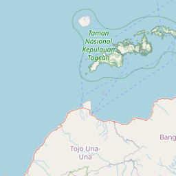


Leaflet | © OpenStreetMap
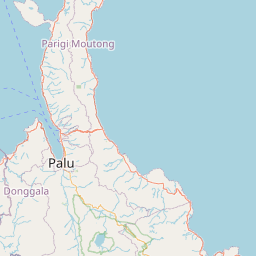
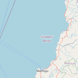
Lintang: -1.452500000000
Bujur: 122.386300000000
Bujur: 122.386300000000