
SD GMIM TANDURUSA
| Nama | : | SD GMIM TANDURUSA | |
| NPSN | : | 40103150 | |
| Alamat | : | Jln. Hendrikus Langelo Kel. Tandurusa Kec. Aertembaga Kota Bitung | |
| Desa/Kelurahan | : | TANDU RUSA | |
| Kecamatan/Kota (LN) | : | KEC. AERTEMBAGA | |
| Kab.-Kota/Negara (LN) | : | KOTA BITUNG | |
| Propinsi/Luar Negeri (LN) | : | PROV. SULAWESI UTARA | |
| Status Sekolah | : | SWASTA | |
| Bentuk Pendidikan | : | SD | |
| Jenjang Pendidikan | : | DIKDAS |
| Kementerian Pembina | : | Kementerian Pendidikan, Kebudayaan, Riset dan Teknologi | |
| Naungan | : | Yayasan GMIM Ds.A.Z.R.Wenas | |
| NPYP | : | AJ2216 | |
| No. SK. Pendirian | : | KEP.268/I 16.6/Ic~90 | |
| Tanggal SK. Pendirian | : | 25-09-1990 | |
| Nomor SK Operasional | : | 102/SK/DIKBUD/2020 | |
| Tanggal SK Operasional | : | 27-08-2020 | |
| File SK Operasional () | : | Lihat SK Operasional | |
| Tanggal Upload SK Op. | : | 29-08-2020 08:31:16 | |
| Akreditasi | : | A |
| Luas Tanah | : | 880 m2 | |
| Akses Internet | : | 1. - | |
| : | 2. 50 Mb | ||
| Sumber Listrik | : | PLN |
| Fax | : | - | |
| Telepon | : | ||
| : | sdgmimtandurusa@gmail.com | ||
| Website | : | ||
| Operator | : | Revonistha Everlin Pontoh |
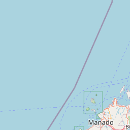
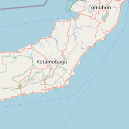


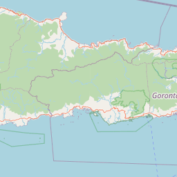

Leaflet | © OpenStreetMap
Lintang: 1.460600000000
Bujur: 125.218900000000
Bujur: 125.218900000000