
MTSS MANGKU ALAM
| Nama | : | MTSS MANGKU ALAM | |
| NPSN | : | 30410063 | |
| Alamat | : | JALAN PEMUDA DS MARGA MULIA KEC. KONGBENG | |
| Desa/Kelurahan | : | MARGA MULIA | |
| Kecamatan/Kota (LN) | : | KEC. KONGBENG | |
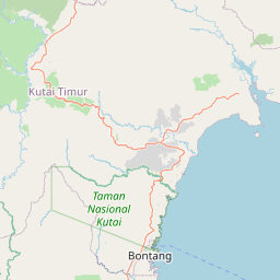
| Kab.-Kota/Negara (LN) | : | KAB. KUTAI TIMUR | |
| Propinsi/Luar Negeri (LN) | : | PROV. KALIMANTAN TIMUR | |
| Status Sekolah | : | SWASTA | |
| Bentuk Pendidikan | : | MTs | |
| Jenjang Pendidikan | : | DIKDAS |
| Kementerian Pembina | : | Kementerian Agama | |
| Naungan | : | ||
| NPYP | : | - | |
| No. SK. Pendirian | : | D/Wq/MTs/14/2002 | |
| Tanggal SK. Pendirian | : | 22-12-2002 | |
| Nomor SK Operasional | : | 307 TAHUN 2024 | |
| Tanggal SK Operasional | : | 03-06-2025 | |
| File SK Operasional () | : | Lihat SK Operasional | |
| Tanggal Upload SK Op. | : | 26-02-2025 09:59:37 | |
| Akreditasi | : | B |
| Luas Tanah | : | 0 m2 | |
| Akses Internet | : | 1. | |
| : | 2. | ||
| Sumber Listrik | : | - |
| Fax | : | - | |
| Telepon | : | ||
| : | |||
| Website | : | ||
| Operator | : | Moh. Dwi Suryanto |
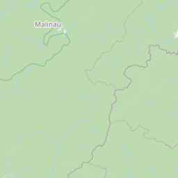
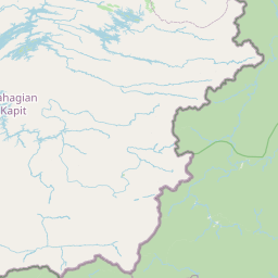
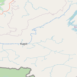

Leaflet | © OpenStreetMap
Lintang: 1.306701000000
Bujur: 117.031081000000
Bujur: 117.031081000000