
SD NEGERI 002 SEBATIK TIMUR
| Nama | : | SD NEGERI 002 SEBATIK TIMUR | |
| NPSN | : | 30402662 | |
| Alamat | : | Jln. Tanjung Pura RT.01 | |
| Desa/Kelurahan | : | BUKIT ARU INDAH | |
| Kecamatan/Kota (LN) | : | KEC. SEBATIK TIMUR | |
| Kab.-Kota/Negara (LN) | : | KAB. NUNUKAN | |
| Propinsi/Luar Negeri (LN) | : | PROV. KALIMANTAN UTARA | |
| Status Sekolah | : | NEGERI | |
| Bentuk Pendidikan | : | SD | |
| Jenjang Pendidikan | : | DIKDAS |
| Kementerian Pembina | : | Kementerian Pendidikan, Kebudayaan, Riset dan Teknologi | |
| Naungan | : | Pemerintah Daerah | |
| NPYP | : | - | |
| No. SK. Pendirian | : | 999/Disdikbud-IV/422/XI/2017 | |
| Tanggal SK. Pendirian | : | 17-05-1982 | |
| Nomor SK Operasional | : | 999/Disdikbud-IV/422/XI/2017 | |
| Tanggal SK Operasional | : | 06-12-1917 | |
| File SK Operasional () | : | Lihat SK Operasional | |
| Tanggal Upload SK Op. | : | 26-01-2025 23:04:50 | |
| Akreditasi | : | B |
| Luas Tanah | : | 2.850 m2 | |
| Akses Internet | : | 1. - | |
| : | 2. 30 Mb | ||
| Sumber Listrik | : | PLN & Diesel |
| Fax | : | - | |
| Telepon | : | 055628227 | |
| : | sdn_003sbt@yahoo.co.id | ||
| Website | : | http://30402662.siap-sekolah.com/ | |
| Operator | : | Abul Maesara |
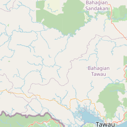
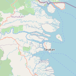

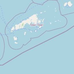


Leaflet | © OpenStreetMap
Lintang: 4.122300000000
Bujur: 117.924100000000
Bujur: 117.924100000000