
SMP NEGERI 1 TANJUNG PALAS BARAT
| Nama | : | SMP NEGERI 1 TANJUNG PALAS BARAT | |
| NPSN | : | 30402554 | |
| Alamat | : | Long Beluah | |
| Desa/Kelurahan | : | LONG BELUAH | |
| Kecamatan/Kota (LN) | : | KEC. TANJUNG PALAS BARAT | |
| Kab.-Kota/Negara (LN) | : | KAB. BULUNGAN | |
| Propinsi/Luar Negeri (LN) | : | PROV. KALIMANTAN UTARA | |
| Status Sekolah | : | NEGERI | |
| Bentuk Pendidikan | : | SMP | |
| Jenjang Pendidikan | : | DIKDAS |
| Kementerian Pembina | : | Kementerian Pendidikan, Kebudayaan, Riset dan Teknologi | |
| Naungan | : | Pemerintah Daerah | |
| NPYP | : | - | |
| No. SK. Pendirian | : | 425.7/3785/DISDIKBUD-III/2018 | |
| Tanggal SK. Pendirian | : | 05-04-1999 | |
| Nomor SK Operasional | : | 425.7/3785/DISDIKBUD-III/2018 | |
| Tanggal SK Operasional | : | 05-04-2018 | |
| File SK Operasional () | : | Silakan Upload SK (link file tidak valid) => [1034531-237142--] | |
| Tanggal Upload SK Op. | : | 06-08-2024 13:50:40 | |
| Akreditasi | : | B |
| Luas Tanah | : | 12.000 m2 | |
| Akses Internet | : | 1. - | |
| : | 2. 2 Mb | ||
| Sumber Listrik | : | PLN |
| Fax | : | - | |
| Telepon | : | ||
| : | smpn1tpb@gmail.com | ||
| Website | : | ||
| Operator | : | vivianti christin |

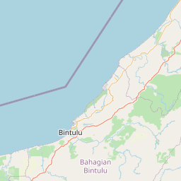


Leaflet | © OpenStreetMap
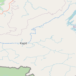
Lintang: 2.731700000000
Bujur: 117.125600000000
Bujur: 117.125600000000