
SD NEGERI 002 SUNGAI BOH
| Nama | : | SD NEGERI 002 SUNGAI BOH | |
| NPSN | : | 30400490 | |
| Alamat | : | Long Lebusan | |
| Desa/Kelurahan | : | LONG LEBUSAN | |
| Kecamatan/Kota (LN) | : | KEC. SUNGAI BOH | |
| Kab.-Kota/Negara (LN) | : | KAB. MALINAU | |
| Propinsi/Luar Negeri (LN) | : | PROV. KALIMANTAN UTARA | |
| Status Sekolah | : | NEGERI | |
| Bentuk Pendidikan | : | SD | |
| Jenjang Pendidikan | : | DIKDAS |
| Kementerian Pembina | : | Kementerian Pendidikan, Kebudayaan, Riset dan Teknologi | |
| Naungan | : | Pemerintah Daerah | |
| NPYP | : | - | |
| No. SK. Pendirian | : | ||
| Tanggal SK. Pendirian | : | 01-01-1910 | |
| Nomor SK Operasional | : | - | |
| Tanggal SK Operasional | : | 01-01-1910 | |
| File SK Operasional () | : | Silakan Upload SK | |
| Tanggal Upload SK Op. | : | - | |
| Akreditasi | : | C |
| Luas Tanah | : | 7.000 m2 | |
| Akses Internet | : | 1. | |
| : | 2. | ||
| Sumber Listrik | : | - |
| Fax | : | - | |
| Telepon | : | ||
| : | sdnsungaiboh02@gmail.com | ||
| Website | : | ||
| Operator | : | Amina, A.Md |
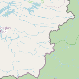
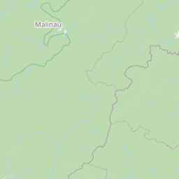
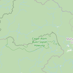
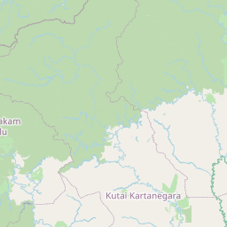
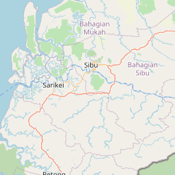

Leaflet | © OpenStreetMap
Lintang: 1.434900000000
Bujur: 115.043200000000
Bujur: 115.043200000000