
SMKN 1 SELAT NASIK
| Nama | : | SMKN 1 SELAT NASIK | |
| NPSN | : | 10901376 | |
| Alamat | : | JL. ABDULLAH RT 12 RW 04 Selat Nasik | |
| Desa/Kelurahan | : | SELAT NASIK | |
| Kecamatan/Kota (LN) | : | KEC. SELAT NASIK | |
| Kab.-Kota/Negara (LN) | : | KAB. BELITUNG | |
| Propinsi/Luar Negeri (LN) | : | PROV. KEPULAUAN BANGKA BELITUNG | |
| Status Sekolah | : | NEGERI | |
| Bentuk Pendidikan | : | SMK | |
| Jenjang Pendidikan | : | DIKMEN |
| Kementerian Pembina | : | Kementerian Pendidikan, Kebudayaan, Riset dan Teknologi | |
| Naungan | : | Pemerintah Daerah | |
| NPYP | : | - | |
| No. SK. Pendirian | : | 016 | |
| Tanggal SK. Pendirian | : | 07-07-2006 | |
| Nomor SK Operasional | : | 016 | |
| Tanggal SK Operasional | : | 07-07-2006 | |
| File SK Operasional () | : | Lihat SK Operasional | |
| Tanggal Upload SK Op. | : | 17-10-2022 13:08:16 | |
| Akreditasi | : | B |
| Luas Tanah | : | 16.410 m2 | |
| Akses Internet | : | 1. - | |
| : | 2. 50 Mb | ||
| Sumber Listrik | : | PLN |
| Fax | : | - | |
| Telepon | : | ||
| : | smkn1_sn@yahoo.co.id | ||
| Website | : | http://smkn1selatnasik.sch.id | |
| Operator | : | Fajar Dinata |

Leaflet | © OpenStreetMap
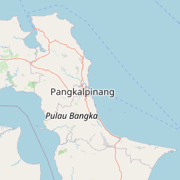
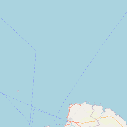
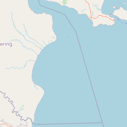
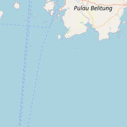
Lintang: -2.846000000000
Bujur: 107.418600000000
Bujur: 107.418600000000