
MTSS DARUL FALAH
| Nama | : | MTSS DARUL FALAH | |
| NPSN | : | 10816645 | |
| Alamat | : | Jalan Cempaka Putih Sumber Agung | |
| Desa/Kelurahan | : | SUKA MARGA | |
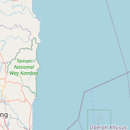
| Kecamatan/Kota (LN) | : | KEC. BANGKUNAT | |
| Kab.-Kota/Negara (LN) | : | KAB. PESISIR BARAT | |
| Propinsi/Luar Negeri (LN) | : | PROV. LAMPUNG | |
| Status Sekolah | : | SWASTA | |
| Bentuk Pendidikan | : | MTs | |
| Jenjang Pendidikan | : | DIKDAS |
| Kementerian Pembina | : | Kementerian Agama | |
| Naungan | : | ||
| NPYP | : | - | |
| No. SK. Pendirian | : | Kd.08.04/4/PP.01.1/368/2011 | |
| Tanggal SK. Pendirian | : | 27-06-2001 | |
| Nomor SK Operasional | : | Kd.08.04/4/PP.01.1/368/2011 | |
| Tanggal SK Operasional | : | 27-06-2011 | |
| File SK Operasional () | : | Lihat SK Operasional | |
| Tanggal Upload SK Op. | : | 22-10-2019 10:35:13 | |
| Akreditasi | : | C |
| Luas Tanah | : | 5.053 m2 | |
| Akses Internet | : | 1. | |
| : | 2. | ||
| Sumber Listrik | : | - |
| Fax | : | - | |
| Telepon | : | ||
| : | |||
| Website | : | ||
| Operator | : | Muhammad Khufroni |
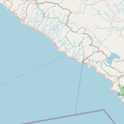
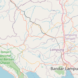


Leaflet | © OpenStreetMap
Lintang: -5.623900000000
Bujur: 104.373800000000
Bujur: 104.373800000000