
SD NEGERI 42 BENGKULU TENGAH
| Nama | : | SD NEGERI 42 BENGKULU TENGAH | |
| NPSN | : | 10702921 | |
| Alamat | : | Jalan Raya Bajak I-Lubuk Unen KM. 4,5 | |
| Desa/Kelurahan | : | BAJAK II | |
| Kecamatan/Kota (LN) | : | KEC. MERIGI KELINDANG | |
| Kab.-Kota/Negara (LN) | : | KAB. BENGKULU TENGAH | |
| Propinsi/Luar Negeri (LN) | : | PROV. BENGKULU | |
| Status Sekolah | : | NEGERI | |
| Bentuk Pendidikan | : | SD | |
| Jenjang Pendidikan | : | DIKDAS |
| Kementerian Pembina | : | Kementerian Pendidikan, Kebudayaan, Riset dan Teknologi | |
| Naungan | : | Pemerintah Daerah | |
| NPYP | : | - | |
| No. SK. Pendirian | : | 001 Tahun 1981 | |
| Tanggal SK. Pendirian | : | 01-06-1981 | |
| Nomor SK Operasional | : | 420-239 Tahun 2017 | |
| Tanggal SK Operasional | : | 22-06-2017 | |
| File SK Operasional () | : | Silakan Upload SK (link file tidak valid) => [344386-333045--] | |
| Tanggal Upload SK Op. | : | 27-08-2020 13:38:15 | |
| Akreditasi | : | B |
| Luas Tanah | : | 720 m2 | |
| Akses Internet | : | 1. - | |
| : | 2. - | ||
| Sumber Listrik | : | PLN |
| Fax | : | - | |
| Telepon | : | ||
| : | sdn42bengkulutengah@gmail.com | ||
| Website | : | http://sdn42benteng.mysch.id/ | |
| Operator | : | RANTI RODEISIA |
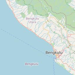


Leaflet | © OpenStreetMap
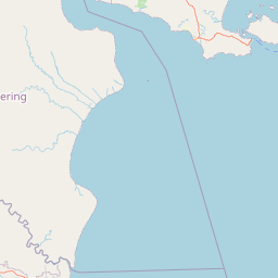
Lintang: -3.672300000000
Bujur: 102.483300000000
Bujur: 102.483300000000