
SMKN 3 SEKAYU
| Nama | : | SMKN 3 SEKAYU | |
| NPSN | : | 10647766 | |
| Alamat | : | JL.TERMINAL RANDIK.RT.04.RW.01 | |
| Desa/Kelurahan | : | KAYUARA | |
| Kecamatan/Kota (LN) | : | KEC. SEKAYU | |
| Kab.-Kota/Negara (LN) | : | KAB. MUSI BANYUASIN | |
| Propinsi/Luar Negeri (LN) | : | PROV. SUMATERA SELATAN | |
| Status Sekolah | : | NEGERI | |
| Bentuk Pendidikan | : | SMK | |
| Jenjang Pendidikan | : | DIKMEN |
| Kementerian Pembina | : | Kementerian Pendidikan, Kebudayaan, Riset dan Teknologi | |
| Naungan | : | Pemerintah Daerah | |
| NPYP | : | - | |
| No. SK. Pendirian | : | 1725 Tahun 2009 | |
| Tanggal SK. Pendirian | : | 30-12-2009 | |
| Nomor SK Operasional | : | 1725 Tahun 2009 | |
| Tanggal SK Operasional | : | 30-12-2009 | |
| File SK Operasional () | : | Lihat SK Operasional | |
| Tanggal Upload SK Op. | : | 18-03-2022 05:43:43 | |
| Akreditasi | : | A |
| Luas Tanah | : | 44.079 m2 | |
| Akses Internet | : | 1. - | |
| : | 2. 200 Mb | ||
| Sumber Listrik | : | PLN |
| Fax | : | - | |
| Telepon | : | 07143330112 | |
| : | smk3modelsekayu@gmail.com | ||
| Website | : | http://www.smkn3sekayu.sch.id | |
| Operator | : | NOVHIA INDRI HANDAYANI |
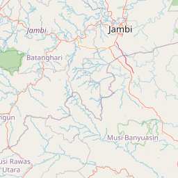
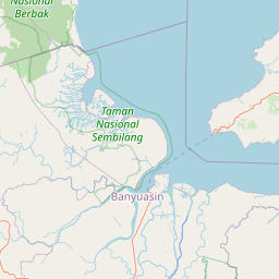
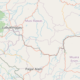
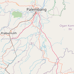
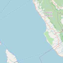

Leaflet | © OpenStreetMap
Lintang: -2.865800000000
Bujur: 103.865800000000
Bujur: 103.865800000000