
SD NEGERI 071039 ONOZIKHO
| Nama | : | SD NEGERI 071039 ONOZIKHO | |
| NPSN | : | 10258773 | |
| Alamat | : | Onozikho | |
| Desa/Kelurahan | : | HILISALOO | |
| Kecamatan/Kota (LN) | : | KEC. SITOLU ORI | |
| Kab.-Kota/Negara (LN) | : | KAB. NIAS UTARA | |
| Propinsi/Luar Negeri (LN) | : | PROV. SUMATERA UTARA | |
| Status Sekolah | : | NEGERI | |
| Bentuk Pendidikan | : | SD | |
| Jenjang Pendidikan | : | DIKDAS |
| Kementerian Pembina | : | Kementerian Pendidikan, Kebudayaan, Riset dan Teknologi | |
| Naungan | : | Pemerintah Daerah | |
| NPYP | : | - | |
| No. SK. Pendirian | : | 01/TB/THB/2004 | |
| Tanggal SK. Pendirian | : | 10-05-1958 | |
| Nomor SK Operasional | : | 421.2/808-Dikdas/Disdik/2018 | |
| Tanggal SK Operasional | : | 23-04-2018 | |
| File SK Operasional () | : | Lihat SK Operasional | |
| Tanggal Upload SK Op. | : | 29-04-2018 20:50:34 | |
| Akreditasi | : | B |
| Luas Tanah | : | 2.090 m2 | |
| Akses Internet | : | 1. - | |
| : | 2. 40 Mb | ||
| Sumber Listrik | : | PLN |
| Fax | : | 0 | |
| Telepon | : | ||
| : | sdn071039onozikho@gmail.com | ||
| Website | : | ||
| Operator | : | SISKA JULINDA YANI ZEGA |
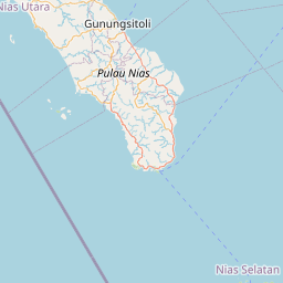

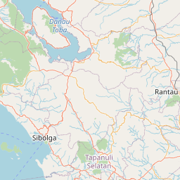


Leaflet | © OpenStreetMap
Lintang: 1.400300000000
Bujur: 97.447100000000
Bujur: 97.447100000000