
SMKS PGRI 4 SIBOLGA
| Nama | : | SMKS PGRI 4 SIBOLGA | |
| NPSN | : | 10212139 | |
| Alamat | : | Jl. Sudirman No. 29 Aek Parombunan | |
| Desa/Kelurahan | : | KOTA BERINGIN | |
| Kecamatan/Kota (LN) | : | KEC. SIBOLGA KOTA | |
| Kab.-Kota/Negara (LN) | : | KOTA SIBOLGA | |
| Propinsi/Luar Negeri (LN) | : | PROV. SUMATERA UTARA | |
| Status Sekolah | : | SWASTA | |
| Bentuk Pendidikan | : | SMK | |
| Jenjang Pendidikan | : | DIKMEN |
| Kementerian Pembina | : | Kementerian Pendidikan, Kebudayaan, Riset dan Teknologi | |
| Naungan | : | Yayasan Perwakilan YPLP PGRI Provinsi Sumatera Utara | |
| NPYP | : | AB7774 | |
| No. SK. Pendirian | : | AHU-8232.AH.01.04. Tahun 2013 | |
| Tanggal SK. Pendirian | : | 03-12-2013 | |
| Nomor SK Operasional | : | 300/1620/2015 | |
| Tanggal SK Operasional | : | 25-09-2015 | |
| File SK Operasional () | : | Lihat SK Operasional | |
| Tanggal Upload SK Op. | : | 14-09-2022 00:14:02 | |
| Akreditasi | : | B |
| Luas Tanah | : | 10.000 m2 | |
| Akses Internet | : | 1. - | |
| : | 2. 3 Mb | ||
| Sumber Listrik | : | PLN |
| Fax | : | 0631 | |
| Telepon | : | 0631 | |
| : | smkpgri4@yahoo.co.id | ||
| Website | : | http://smkpgri4sibolga.com | |
| Operator | : | Metaria Nababan |
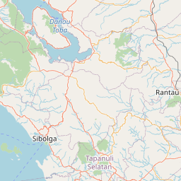


Leaflet | © OpenStreetMap
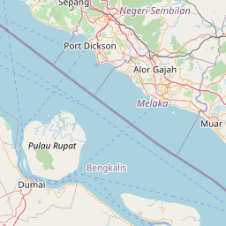
Lintang: 1.729700000000
Bujur: 98.803700000000
Bujur: 98.803700000000